Living Shorelines: A Permitting Guide for Mississippi Homeowners
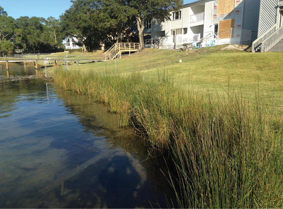
The following is meant to be a permitting guide for homeowners who are interested in installing a living shoreline on their property in Mississippi.
Permitting Agencies
Initial Reviewers and Issuers of the General Permit
Mississippi Department of Marine Resources (DMR)
1141 Bayview Avenue
Biloxi, MS 39530
(228) 374-50000
U.S. Army Corps of Engineers
(USACE)
P.O. Box 2288
Mobile, AL 36628-0001
(251) 690-2658
Authorizer for Projects on Submerged Water Bottoms
Secretary of State Public Lands Division
(601) 359-5156
Fax: (601) 359-1461

https://www.sos.ms.gov/public-lands
Permit Application Checklist
To apply for a living shoreline permit, the following documents must be completed and turned into the Mississippi Department of Marine Resources, which will then distribute the application to the appropriate agencies (see previous page).
- DMR/USACE Joint Application
- Drawings
- Environmental Assessment
- Agent Authorization (optional)
- Adjacent Property Owner Authorization (if applicable)
DMR/USACE Joint Application
Form requires:
- General information about the permit applicant (e.g., name, address).
- Basic project information (e.g., location, materials).
- Includes drawings, environmental assessment, and agent authorization (optional).
- $50 application fee for single-family residences.
- Can be found at the Mississippi DMR website: (https://dmr.ms.gov/joint-application-form/)
Where to Submit DMR/USACE Joint Application
Applications must be submitted to the Mississippi Department of Marine Resources (DMR). The MS DMR will then review the application and forward it to any necessary agencies for further review. Once the application is approved, either a general or nationwide permit will be granted.
Drawings
- Includes a vicinity map, cross-section plan, and proposed activity drawings.
- Vicinity map shows the proposed activity location and includes a written description of how to get there from major landmarks or highways.
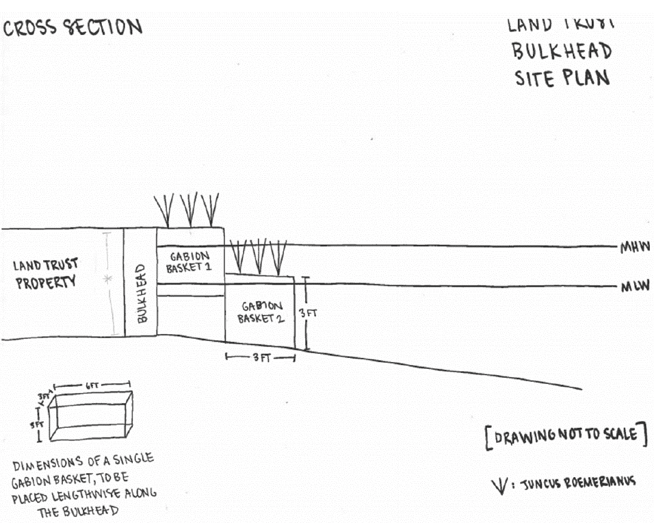
- Cross-section drawing should include mean high tide (MHT).
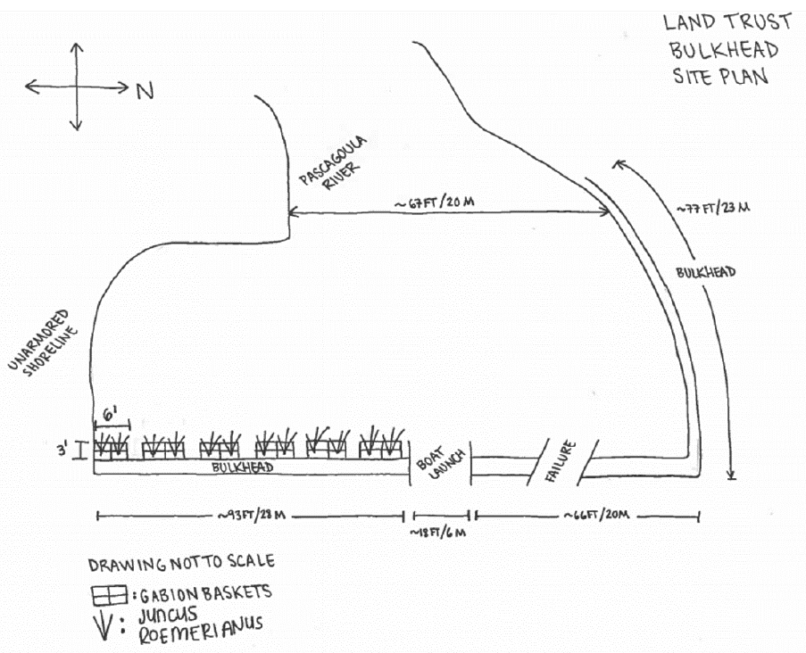
- Provides accurate drawings of the project site, with proposed activities shown in detail.
- All drawings must be to scale or include dimensions on the drawings.
- Must be on 8½-by-11-inch white paper.
- Can be made on the computer or by hand.

Sample drawing
(Credit: DMR)
Other Application Documents
Environmental Assessment
- Provide a report or statement assessing environmental impacts of the proposed project.
- Address the proposed project’s effects on the wetlands and the wildlife that depend on them.
- Provide a complete description of any measures to be taken to reduce detrimental effects to wetlands during and after the proposed activity.
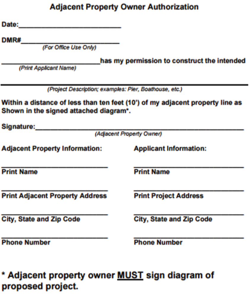
Adjacent Property Owner Authorization
- Required when proposed project is within 10 feet of an adjacent property.
- Applicant must provide a statement of permission and a diagram of proposed work with signatures from the adjacent property owners.
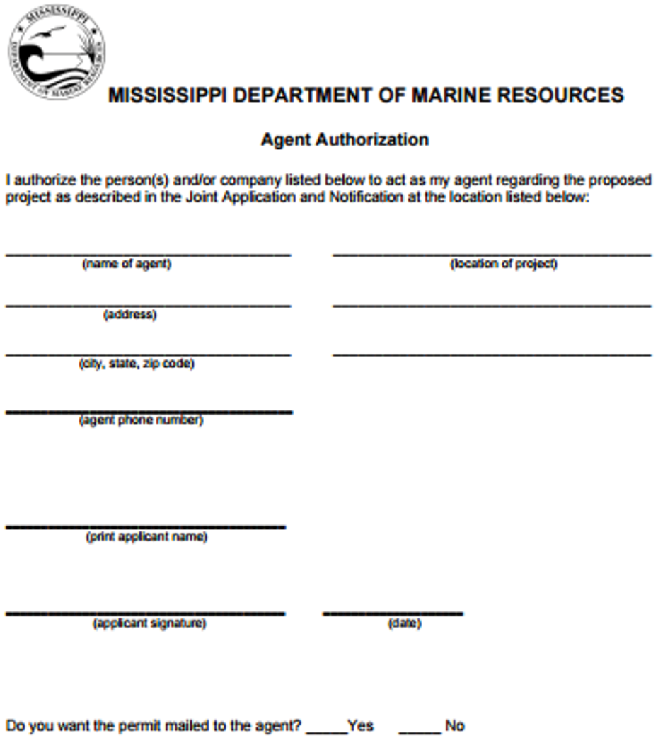
Agent Authorization
- Optional document: Signed authorization is required if the applicant desires to have an agent or consultant act on his/her behalf for permit coordination.
The above forms are to be submitted as part of the DMR/USACE Joint Application and can be found at https://dmr.ms.gov/permitting/.
Tips to Submitting a Successful Permit Application
Top 5 Mistakes that Lead to Permit Application Rejection
- Application does not contain a full, narrative description of the proposed project.
- Drawings do not display the mean high tide (MHT).
- Drawings are not on 8½-by-11-inch paper, in grayscale.
- Application does not list longitude/latitude and section/township/range of the project site.
- Drawings are not drawn to scale or they do not show accurate dimensions of proposed work.
Helpful Hints to Obtaining a Living Shoreline Permit
Start Early
Be prepared to submit your permit application at least 90 days before construction is planned to begin.
Be Prepared
Schedule a pre-application meeting with DMR to clear up any questions and to address possible complications.
Be Patient
The permit application may have to be approved by several agencies, so the approval process takes time.
Living Shorelines Resources
For additional information on living shoreline permitting:
Example Living Shorelines Permit Application
What remains of this guide is an example permit application that resulted in a permit being issued. The permit application contains the following documents:
- DMR/USACE joint application
- Vicinity map
- Cross-section drawing
- Proposed activities drawing
- Environmental assessment
- Adjacent property owner authorization form
- Agent authorization form
Required Documentation:
DMR/USACE Joint Application page 1
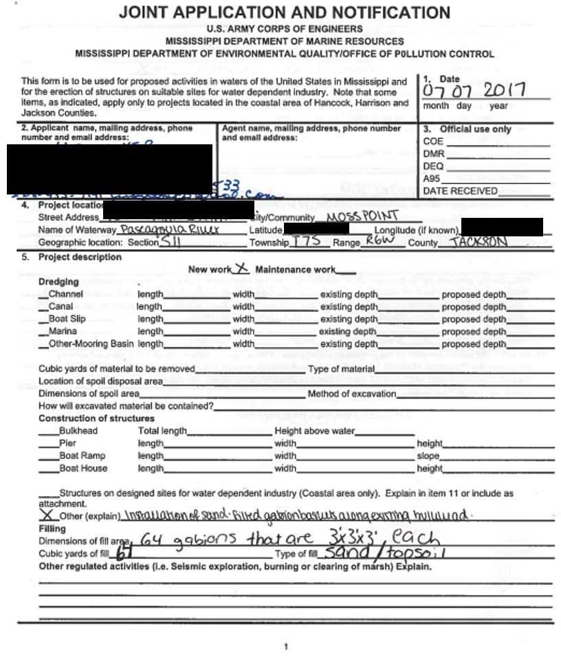
Required Documentation:
DMR/USACE Joint Application page 2
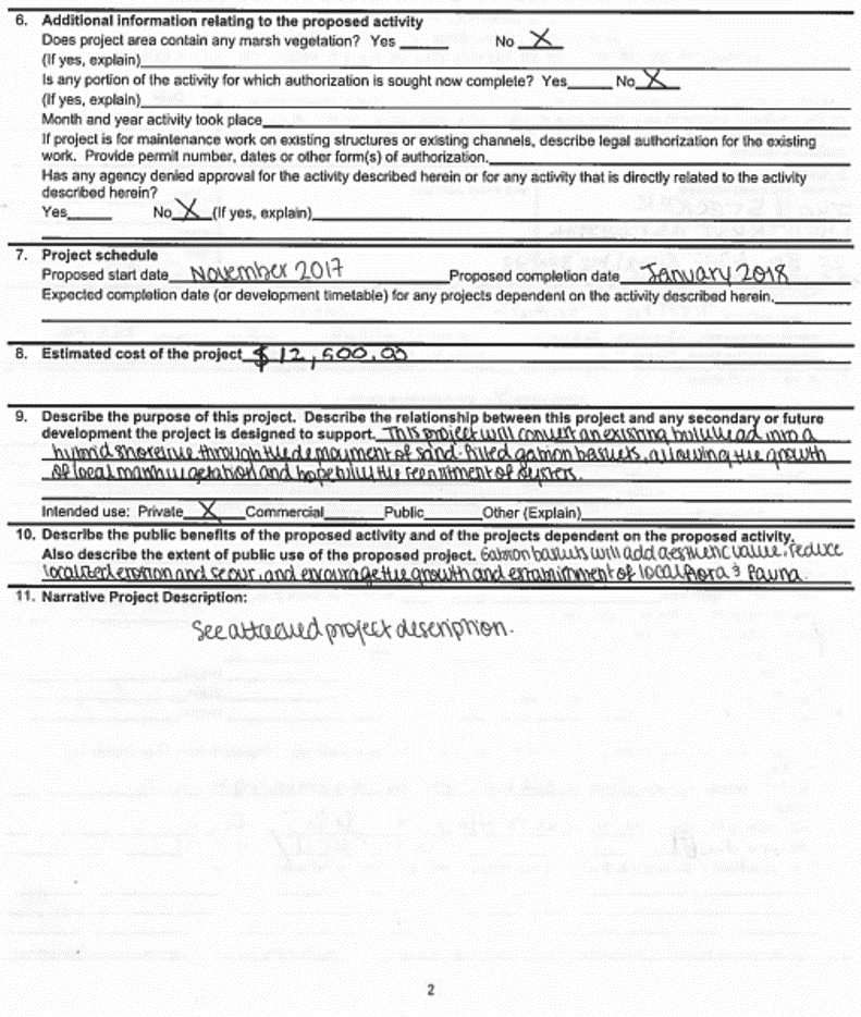
Required Documentation:
DMR/USACE Joint Application page 3
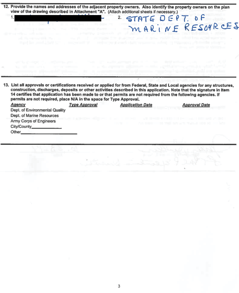
Required Documentation:
DMR/USACE Joint Application page 4
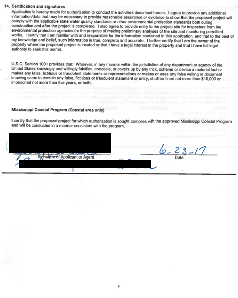
Required Documentation:
DMR/USACE Joint Application page 5
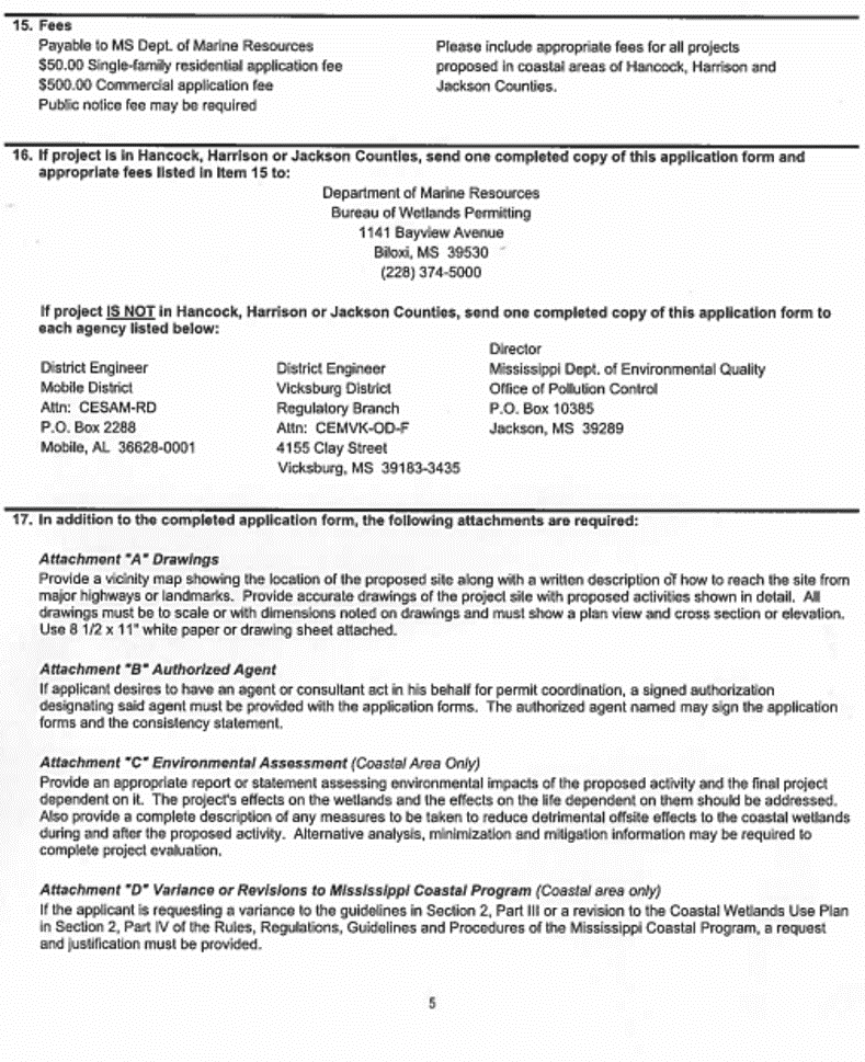
Required Documentation:
Vicinity Map
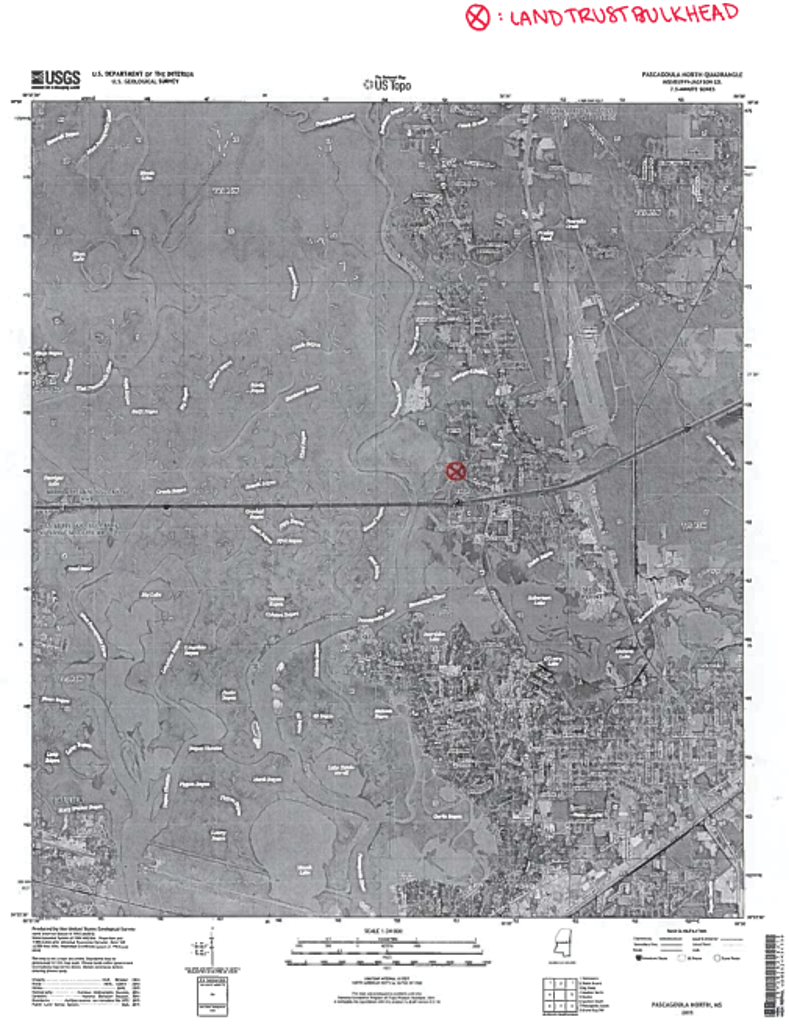
Required Documentation:
Cross-Section Plan
Required Documentation:
Proposed Activities
Required Documentation:
Environmental Assessment Guidelines
- Project Description
- Define the project. Be specific and include dimensions. A clear description of the project will prevent delays.
- Purpose and Need for the Project
- Demonstrate the need to be met by the proposed project.
- Describe any public benefit that will be provided.
- Description and Comparison of Alternatives
- Describe off-site alternatives (other locations considered for the proposed project). Include impacts associated with these locations, illustrating both the quantity of impacts and the quality of the
affected wetlands. - Describe on-site alternatives (other project designs that were considered). Again, include impacts
associated with these designs. - Provide feasibility information for the rejected alternatives, along with the reasoning behind the
choice of the proposed site/design. - Demonstrate that impacts to wetlands have been avoided and minimized to the maximum extent practicable.
- Describe off-site alternatives (other locations considered for the proposed project). Include impacts associated with these locations, illustrating both the quantity of impacts and the quality of the
- Description of the Affected Environment
- Describe the existing conditions of the proposed project site, including information on topography, hydrology, soils, vegetation, and wildlife use.
- Provide both the quantity and quality of all wetlands on-site, whether they are proposed to be
impacted or avoided.
- Project Impacts
- Describe how the proposed project would both directly and indirectly affect the biological integrity
and productivity of coastal wetlands communities and ecosystems. - Demonstrate whether the proposed activity would affect the following characteristics of coastal wetlands:
- The natural supply of sediment and nutrients to the coastal wetlands;
- The natural temperature regimes that are part of the ecosystem of coastal wetlands;
- Salinity regimes;
- Sediment transport processes;
- Water flow and natural circulation; and
- The long-term biological productivity of the coastal wetlands’ ecosystem.
- Describe how the proposed project would both directly and indirectly affect the biological integrity
Explain all measures that will be taken to reduce detrimental off-site effects to coastal wetlands during and after the proposed activity. Refer to the Mississippi Department of Environmental Quality’s Field Manual for Erosion and Sediment Control on Construction Sites in Mississippi for descriptions of acceptable best management practices.
Present the plan to mitigate for any unavoidable impacts. This plan should be based on the quantity, quality, and function of the impacted wetlands.
Required Documentation:
Adjacent Property Owner Authorization Form
Required Documentation:
Agent Authorization Form
Publication 3119 (POD-10-23)
MASGC-17-067
By Sara Martin, Extension Program Manager, Eric Sparks, Associate Extension Professor and Director, Nigel Temple, PhD student, and Daniel Firth, master’s student, Coastal and Marine Extension Program.
The Mississippi State University Extension Service is working to ensure all web content is accessible to all users. If you need assistance accessing any of our content, please email the webteam or call 662-325-2262.


