Information Possibly Outdated
The information presented on this page was originally released on September 29, 2017. It may not be outdated, but please search our site for more current information. If you plan to quote or reference this information in a publication, please check with the Extension specialist or author before proceeding.
Understand historic, record-breaking floods
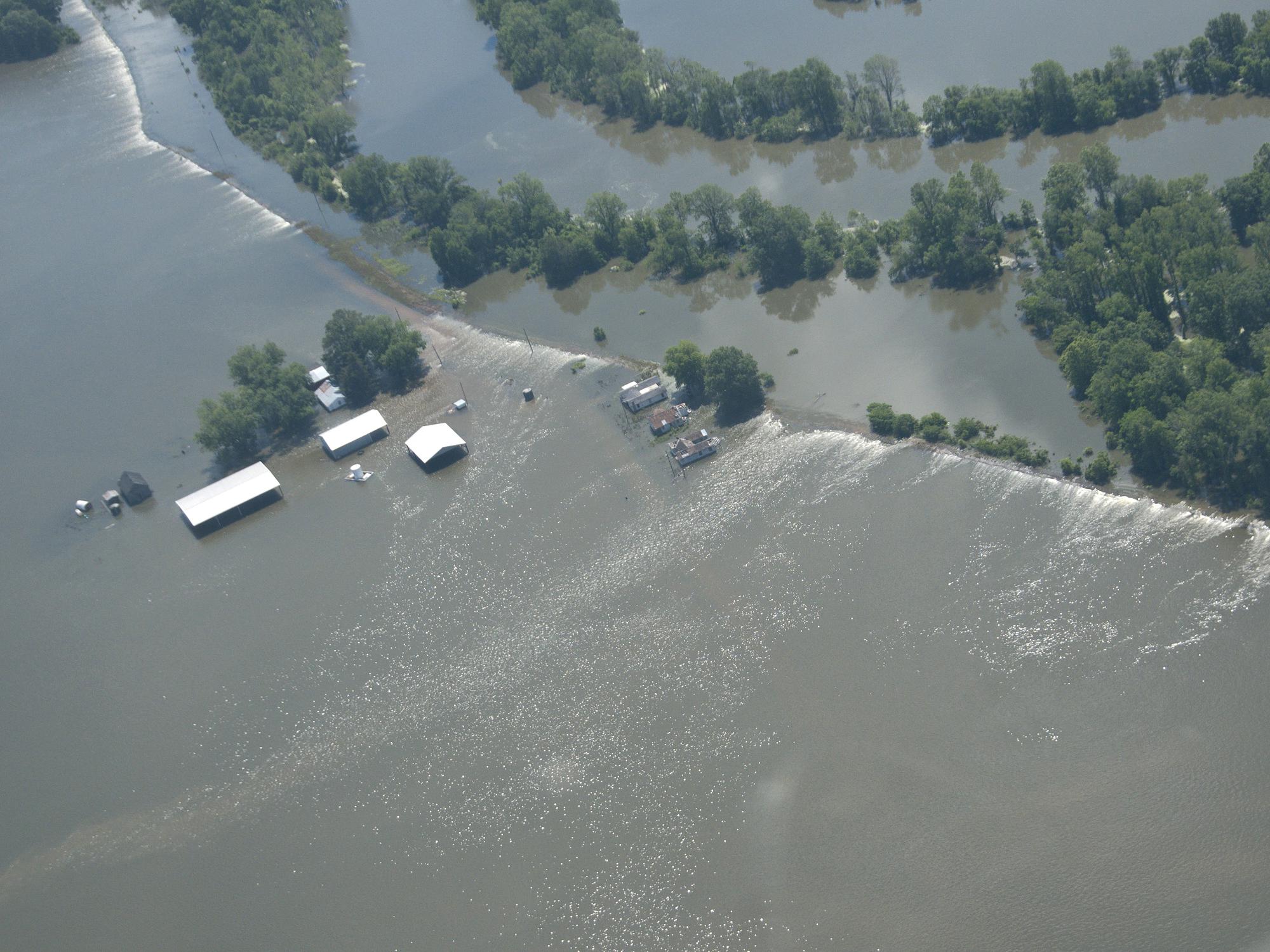
STARKVILLE, Miss. -- Hurricanes Irma and Harvey recently blew through the Southeast and into the history books, bringing destructive winds and leaving devastating floods in their wakes.
Hurricane Harvey brought record-breaking rainfall to the continental U.S. -- 51.88 inches in a single event. After the severe winds left a path of destruction, flooding continued for days after Harvey made landfall and moved along the Texas coast.
In the aftermath of Harvey, experts determined that heavy rainfall resulted in a 500-year flood event in some areas. This terminology can be confusing, but it doesn’t have to be. A 100-year flood does not occur every century; you may have two such floods in the same year or even the same month. This term simply means that a flood of this magnitude has a 1 percent chance of occurring every year.
To clarify this issue, most federal and state governments are rephrasing the term into “1-percent-annual-chance flood.” A 500-year flood would be a 0.2-percent-annual-chance flood. Some sources even say that the flooding caused by Harvey is so unprecedented that it was a 0.1-percent-annual-chance flood -- a 1,000-year flood.
The likelihood of flooding occurring in the Houston area is determined based on historic data for that region. Those probabilities are specific to that geographic area or watershed. A 100-year flood in Texas may not be the same as a 100-year flood on the Mississippi River. These metrics also vary over time because the predictions are based on historic data. Each year, new data alters the predictions. A 100-year flood today may occur more often in the future, so 50 years from now it may be only a 50-year flood.
Although the odds of these extreme flooding events are rare, the best way to protect ourselves, our families and our property is to be informed about our location in each watershed and its potential flood risks. This knowledge will allow you to prepare for extreme rainstorms. Areas susceptible to flooding have been mapped and described according the historic frequency of major floods.
FEMA has an interactive geospatial data platform that can be found on their website. It allows you to search the country and find out if an area is prone to flooding. If it is, the site can tell you the likelihood of flooding. Locally, the Mississippi Department of Environmental Quality Office of Geology has a similar interactive mapping tool found at http://geology.deq.ms.gov for searches within the state.
For more information about flooding, as well as water resource concerns, contact Beth Baker with the Research and Education to Advance Conservation and Habitat (REACH) program at Mississippi State University at 662-325-7491 or beth.baker@msstate.edu.

Editor’s Note: Extension Outdoors is a column authored by several different experts in the Mississippi State University Extension Service.


