P3357
Using Google Earth to Estimate Shoreline Erosion History
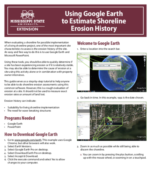
When evaluating a shoreline for possible implementation of a living shoreline project, one of the most important site characteristics to assess is the erosion history of the site. An easy and free way to do this is to use Google Earth and Microsoft PowerPoint.
Using these tools, you should be able to quickly determine if a site has been experiencing erosion or if it is relatively stable. You may also be able to determine the cause of erosion at a site using this activity alone or in combination with property owner interviews.
Download the PDF for the full publication.
Publication 3357 (POD-08-25)
By Sara Martin, Program Manager, and Eric Sparks, PhD, Associate Extension Professor and Director, Coastal and Marine Extension Program.
The Mississippi State University Extension Service is working to ensure all web content is accessible to all users. If you need assistance accessing any of our content, please email the webteam or call 662-325-2262.
Authors
-
 Associate Professor & Director
- CREC-Coastal Marine Ext Program
-
 Program Manager
- CREC-Coastal Marine Ext Program
